Trending Searches

    History

      Clear All
      US Public Lands

      US Public Lands

      • Sizes: 189.51MB
      • Version: 2022.11
      • Update: 2022-11-29
      Install by Apple Store

      US Public Lands Screenshot

      US Public Lands
      US Public Lands
      US Public Lands
      US Public Lands
      US Public Lands
      US Public Lands
      US Public Lands

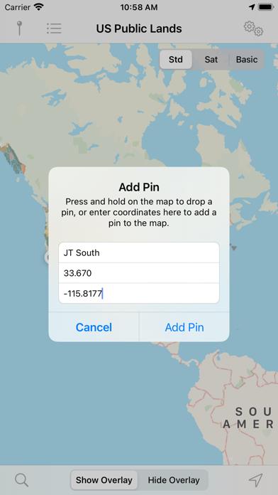
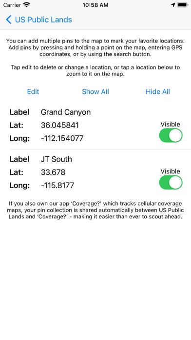
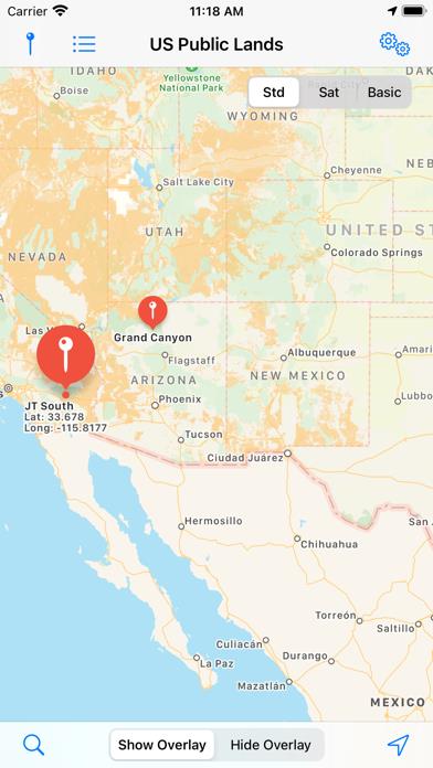
      US Public Lands Description

      The US Federal Governments owns nearly 650 million acres of land - almost 30 percent of the land area of the United States. These are lands that are held for all Americans. US Public Lands allows you to quickly retrieve the boundaries of these properties without carrying physical maps, books, or digging deep online. Included in the app are on-device (fully works offline), individually selectable & beautifully colored map layers for most of the properties administered by the federal government: - Bureau of Land Management (BLM) - US Forest Service (FS) - National Park Service (NPS) - Army Corp of Engineers (ACOE) - US Fish & Wildlife Service - Bureau of Reclamation - Tennessee Valley Authority - Department of Defense (military bases & installations) - Other (National Laboratories, Test Sites, etc...) Key Benefits & Features - Know which US agency owns and operates the land you're on or are heading to. Use the "Layers" icon to select which agencies you want displayed to create your own custom map. (Hint, the toggles are color coded to the color each layer is displayed in.) - Links are provided to each agency's website within the app, so that you can further your research as to what land use rules apply for each public land type - such as permits, fees, activities allowed, and limits of stay. - Map layers are stored on device - no internet connection required. - Be sure to turn on the 'Basic' base map to see the US Public Land labels for each land area. This base map layer is also stored entirely on your device, and can be utilized if you do not have an internet connection or would like to conserve bandwidth. - If you have an internet connection (or have cached them before going out of signal), you can utilize the built in Apple Maps and satellite view maps as the base layer underneath the public land overlays. - A boondocker's assistant - While US Public Lands is not specifically a camp site locator and does not have a database of specific sites, by turning on the satellite view map, you can better scout out trails, roads and signs of dispersed camping locations within the boundaries of the public land resources. - Quickly toggle between 'Show' and 'Hide' via the "Map" icon to more clearly see satellite images below. - If you have GPS access on your device, click the 'Locate Me' icon to show your present location - know what type of land you're on right now! - Built in search tool locates anything on device maps supports (requires internet access) - including cities, states, zip codes, addresses and points of interest. A pin is dropped at the search location. Thank you to the Protected Area Database (PAD-US) of the U.S. Geological Survey for providing the public domain raw map data that we’ve been able to utilize to create this interactive overlayable mapping & navigation tool. We will update our maps in the future to stay in sync with improvements to this data set. Please note, the USGS PAD-US database contains the “most up-to-date aggregation of Federal lands and waters” available, but this database is still evolving and some locations may not be listed and others may not have precisely accurate boundaries. Resolution across the nation may vary. And always remember - there may be private unmapped inholdings within any public lands - so always pay attention to local signage, indications, and information. The US Public Lands app should only be used as an overview, and you should always confirm more precise details by consulting local field offices, administration websites, and other resources. Do not solely rely on this app for determining if you are on public or private land.

      US Public Lands Information

      Name US Public Lands

      Category Travel

      Developer Two Steps Beyond

      Version 2022.11

      Update 2022-11-29

      Languages EN

      Size 189.51MB

      Compatibility Requires iOS 12.0 or later. Compatible with iPhone, iPad, and iPod touch.

      Other Original Version
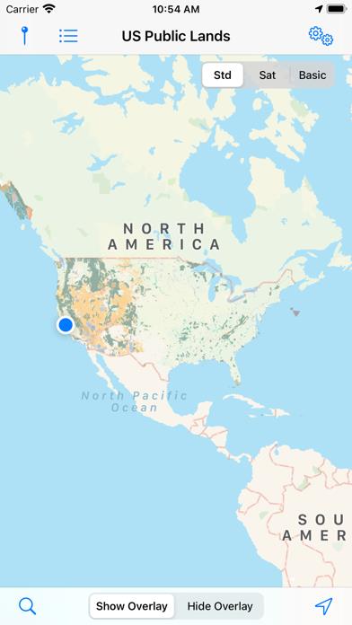
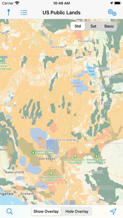
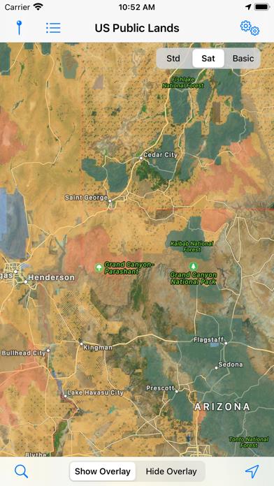
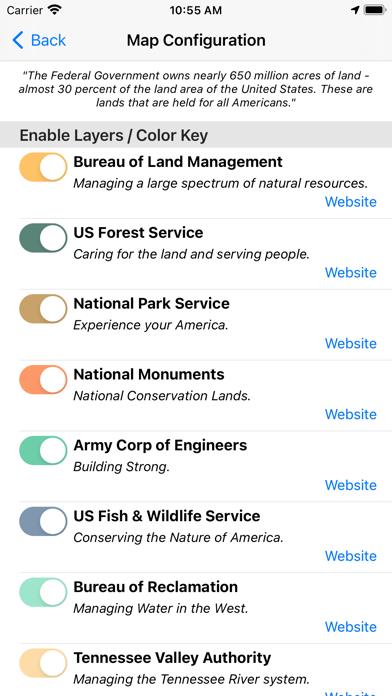
      Angry Birds Journey Hack Information

      US Public Lands
      US Public Lands
      US Public Lands
      US Public Lands
      US Public Lands
      US Public Lands
      US Public Lands

      Rating

      4.5

      1781 Ratings

      Tap to Rate

      Please use Safari on iPhone/iPad to access the current page

      Because Panda Helper VIP service is based on iPhone/iPad device information (UDID), please access the current page in Safari on iPhone/iPad:
      • Scan the QR code on your iPhone/iPad
      • Copy the link below and open it in Safari on your iPhone/iPad
      * Safari only. Other browsers cannot get device information
      Copy
      copy successfully!

      Follow us on social media

      panda helper top hover