Trending Searches

    History

      Clear All
      Topographic Maps & Trails

      Topographic Maps & Trails

      • Sizes: 38.19MB
      • Version: 1.2.10
      • Update: 2021-12-22
      Install by Apple Store

      Topographic Maps & Trails Description

      ** The #1 Topo Maps App for iOS ** MAIN FEATURES INCLUDE: - USGS Topographic Maps - USFS Topographic Maps - Satellite + Topo Maps - Hiking Tracker * Download all maps for offline use USGS TOPO MAP USGS Topo is a tile cache base map service that combines the most current data in The National Map (TNM), and other public-domain data, into a multi-scale topographic reference map. TOPO + SATELLITE USGS Imagery Topo is a tile cache base map of orthoimagery in The National Map and US Topo vector data. Orthoimagery data are typically high resolution images that combine the visual attributes of an aerial photograph with the spatial accuracy and reliability of a planimetric map. Data themes included are Boundaries, Geographic Names, Transportation, Contours, Hydrography, Land Cover, Shaded Relief, Trails, etc. USFS TOPO MAP The USFS Topo Map Area of Interest covers the USFS National Forests and Grasslands. HIKING TRACKER Now you can track all of your hiking stats! - Track total distance, vertical, time - Track calories burned - Keep track of yearly stats - Color coded tracks by elevation - Backup your hike data to iCloud - iOS 14 home screen widget Have questions? Feel free to contact me at [email protected]

      Topographic Maps & Trails Information

      Name Topographic Maps & Trails

      Category Navigation

      Developer LW Brands, LLC

      Version 1.2.10

      Update 2021-12-22

      Languages EN,FR,PT

      Size 38.19MB

      Compatibility Requires iOS 12.0 or later. Compatible with iPhone, iPad, and iPod touch.

      Other Original Version

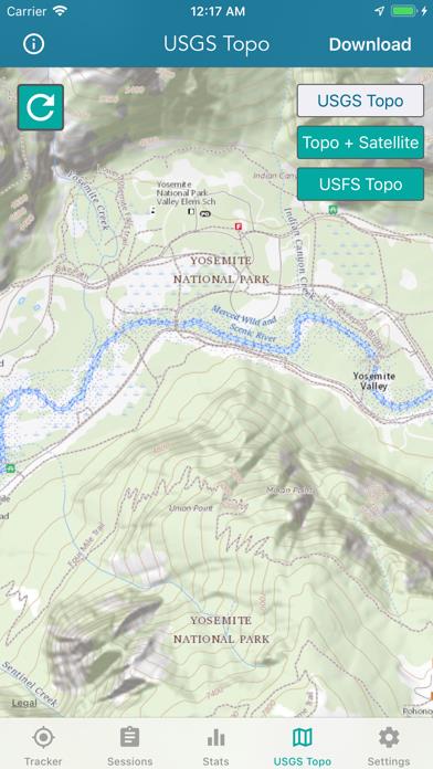
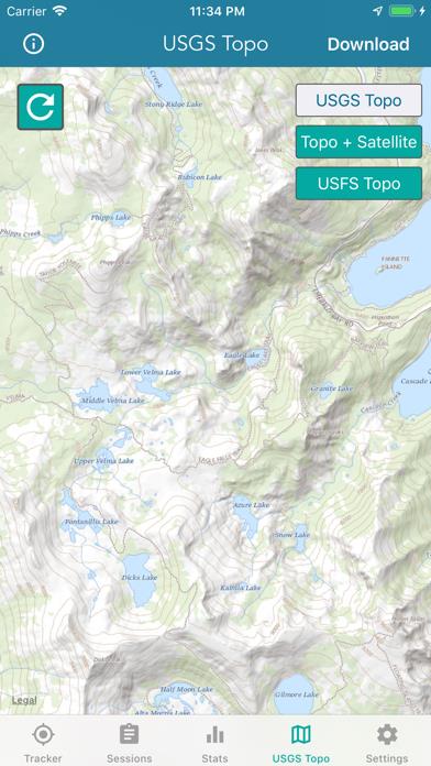
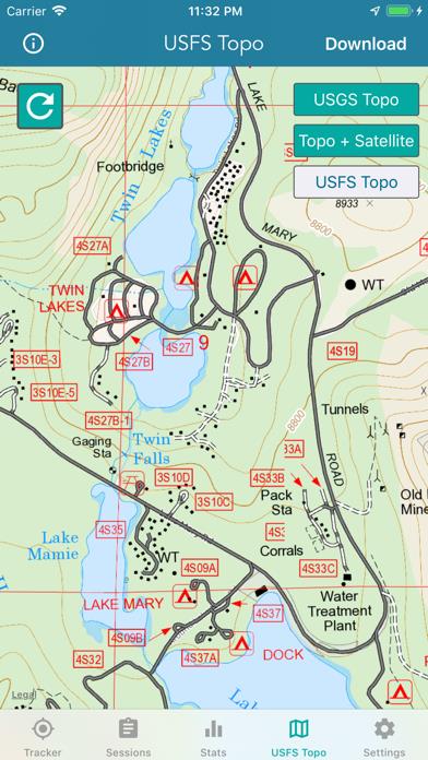
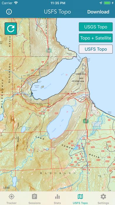
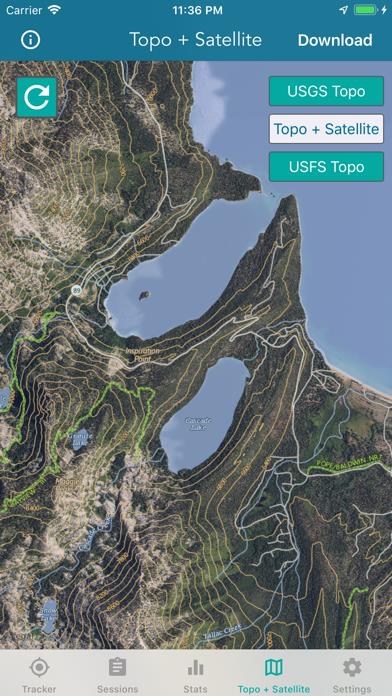
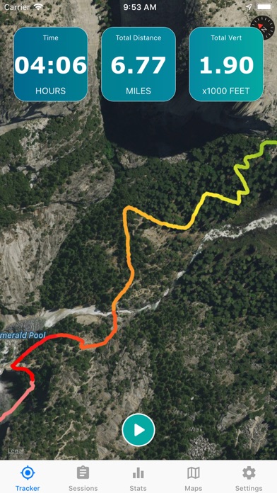
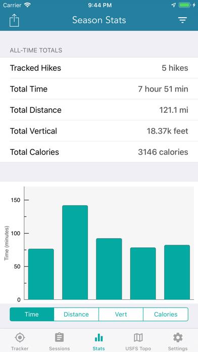
      Topographic Maps & Trails Screenshot

      Topographic Maps & Trails
      Topographic Maps & Trails
      Topographic Maps & Trails
      Topographic Maps & Trails
      Topographic Maps & Trails
      Topographic Maps & Trails
      Topographic Maps & Trails

      Rating

      4.8

      1378 Ratings

      Tap to Rate

      Please use Safari on iPhone/iPad to access the current page

      Because Panda Helper VIP service is based on iPhone/iPad device information (UDID), please access the current page in Safari on iPhone/iPad:
      • Scan the QR code on your iPhone/iPad
      • Copy the link below and open it in Safari on your iPhone/iPad
      * Safari only. Other browsers cannot get device information
      copy successfully!

      Follow us on social media

      panda helper top hover