Trending Searches

    History

      Clear All
      onX Backcountry Snow/Trail GPS

      onX Backcountry Snow/Trail GPS

      • Sizes: 372.55MB
      • Version: 23.17.0
      • Update: 2023-05-17
      Install by Apple Store

      onX Backcountry Snow/Trail GPS Description

      3D Mapping We adventure in three dimensions, your planning should reflect that. With a 3D map you can visualize terrain, scout lines, and plan for hazards before you hit the trail. Whether you’re backcountry skiing, splitboarding, nordic skiing, mountain biking, hiking, trail running, or another human-powered sport, our 3D maps will give you the best picture of the landscape before you even set foot on it. “3D Maps allow you to scout terrain and very easily see features that could be interesting or problematic, saving you time both in the scouting process and out in the field.” –Professional Skier Griffin Post Offline Maps Trustworthy doesn’t even scratch the surface—offline is what we’re made for. Adventure maps made for life beyond cell phone coverage. When you download your Offline Maps to your phone all of the markups you've made for any selected area will be included. Save maps in a 5-, 10-, or 150-mile increments. When you've turned on your Offline Map, the GPS in your phone will connect to satellites to give your real-time location—even when cell signal is long behind you. Private Lands Map Layer has been added as an all-new Elite subscription feature. Modes Unlock 365 days of adventure using onX Backcountry. Modes engage an intuitive experience in which you can see maps designed for your season of recreation. Whether you want to see Slope Angle and Aspect in Snow Mode or Wildfire information in Trail, you’ll have the tools you need to make informed decisions in the backcountry. Snow Safety “Slope Angle is critical for the backcountry.” –Professional Skier Cody Townsend With tools like Slope Angle and Slope Aspect in your pocket, you’re carrying exactly what professional ski guides use for a navigation tool. Combine this information with in-app Avalanche Forecasts and Winter Aerial imagery to have a complete winter planning tool for wherever your skis or splitboard take you. Discover Find your next favorite ski tour, hike, mountain bike ride, or waterfall using onX Backcountry’s Discover tool. Whether you’re looking to get off the couch or get way off the grid, we’ve got an adventure suited for everyone. Find out why Forbes chose us as the “Paramount Navigation App” and explore the 650,000 miles of trails in our App. Unlock 10,000 Featured Adventures to see detailed trail information including photos, description, difficulty, distance, elevation, and more. Also, explore 450,000 outdoor recreation points of interest and more than 54,000 campsites. Build Routes custom routes seamlessly on your mobile device with Route Builder’s snap-to-trail functionality. 3D Maps Offline Maps Tracking Slope Aspect Slope Angle SNOTEL Guidebook Adventures Map Types Topo Hybrid Satellite Winter aerial Air Quality Index Historic Wildfires Wildfire Smoke Plume Active Wildfire Avalanche Forecast Public Land Boundaries Property Maps for all 50 States Content Sharing Line Tool Precision GPS Waypoint Tool Area Shape Tool Mark My Location Modes (Trail and Snow) Import/Export GPX Files Discovery Search Filtering Route Difficulty Route Builder Points of Interest Weather Station Data Historic Avalanche Fatalities Trail Data 7-Day Free Trial For your first seven days, you’ll have unlimited access to Offline Maps, SNOTEL data, Line Tool, and 3D maps. After that period, you’ll still have access to beautiful topographic and satellite maps, weather, and Historic Avalanche Fatality information. The onX Mission Our mission is to awaken the adventurer inside everyone. onX products are built by adventurers, for adventurers. Our appreciation for wild places drives us to preserve access to the recreation that we cherish. As a company, we invest in land access initiatives to expand and protect open spaces. Read more about our land access initiatives on our website. FEEDBACK Want to request new features? Contact us at [email protected]

      onX Backcountry Snow/Trail GPS Information

      Name onX Backcountry Snow/Trail GPS

      Category Navigation

      Developer onXmaps, Inc.

      Version 23.17.0

      Update 2023-05-17

      Languages EN

      Size 372.55MB

      Compatibility Requires iOS 14.0 or later. Compatible with iPhone, iPad, and iPod touch.

      Other Original Version

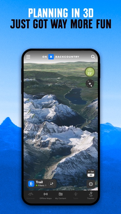
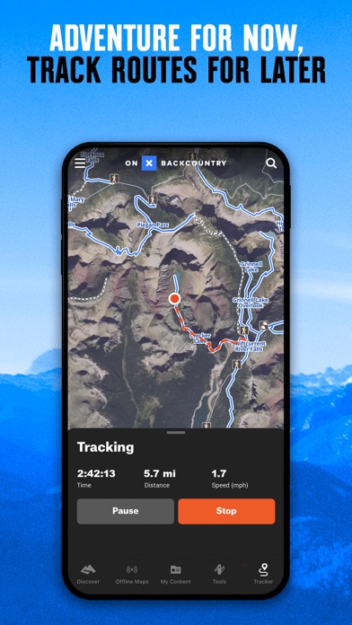
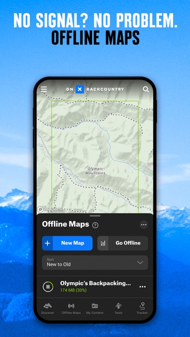
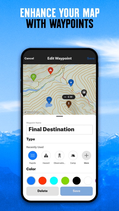
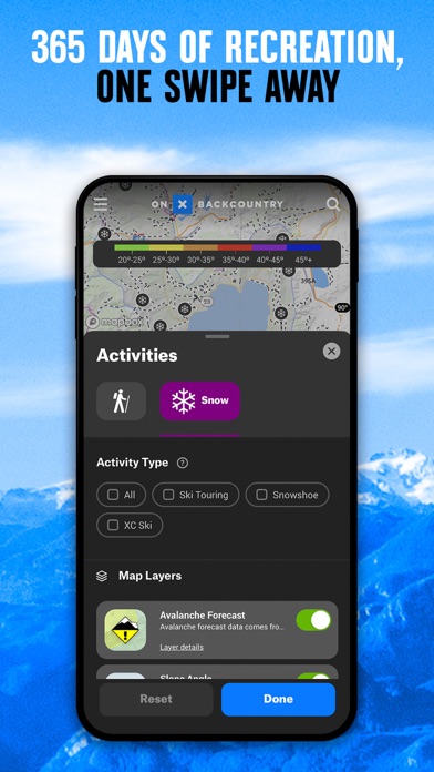
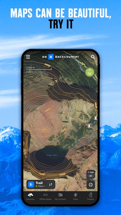
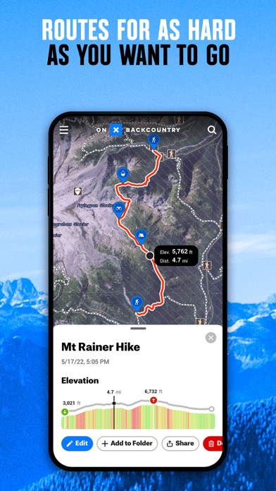
      onX Backcountry Snow/Trail GPS Screenshot

      onX Backcountry Snow/Trail GPS
      onX Backcountry Snow/Trail GPS
      onX Backcountry Snow/Trail GPS
      onX Backcountry Snow/Trail GPS
      onX Backcountry Snow/Trail GPS
      onX Backcountry Snow/Trail GPS
      onX Backcountry Snow/Trail GPS

      Rating

      4.6

      576 Ratings

      Tap to Rate

      Please use Safari on iPhone/iPad to access the current page

      Because Panda Helper VIP service is based on iPhone/iPad device information (UDID), please access the current page in Safari on iPhone/iPad:
      • Scan the QR code on your iPhone/iPad
      • Copy the link below and open it in Safari on your iPhone/iPad
      * Safari only. Other browsers cannot get device information
      copy successfully!

      Follow us on social media

      panda helper top hover