Trending Searches

    History

      Clear All
      Light Pollution Map

      Light Pollution Map

      • Sizes: 19.35MB
      • Version: 1.1.17
      • Update: 2022-08-11
      Install by Apple Store

      Light Pollution Map Description

      The map displays VIIRS/World Atlas/Clouds/Aurora/IAU observatories and the user SQM measurements overlay over Microsoft Bing base layers (road and hybrid Bing maps). The primary use is to show VIIRS/DMSP data in a friendly manner, but over time it also included some other interesting overlays that concern light pollution like SQM/SQC, World Atlas 2015 zenith brightness, clouds, aurora and IAU observatories. If you have a permanent SQM reader installed you can add it to the map by sending me an e-mail. If you want an analysis of radiance (VIIRS/DMSP) changes over a period of time, then please use the Lighttrends application (look under Help). Please send comments and requests for new features via email (look under help) Functionalities: - VIIRS, Sky Brightness (World Atlas 2015), Cloud coverage and Aurora forecast layers - VIIRS and Sky Brightness layers can be displayed in color blind friendly colors - Road & Satellite base maps - Cloud animation for the last 12 hours - Get detail radiance and SQM values from layers at a click. For World Atlas 2015, you also get Bortle class estimation. - SQM, SQM-L, SQC, SQM-LE, SQM readings submitted by users - Submit your own SQM (L) readings - Observatories layer - Save your favorite locations - Distance measurement tool with azimuth angle report - Offline mode (Sky brightness map and a base map are saved to your device, so it will be displayed when you are offline)

      Light Pollution Map Information

      Name Light Pollution Map

      Category Navigation

      Developer Jurij Stare

      Version 1.1.17

      Update 2022-08-11

      Languages EN

      Size 19.35MB

      Compatibility Requires iOS 12.0 or later. Compatible with iPhone, iPad, and iPod touch.

      Other Original Version

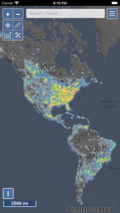
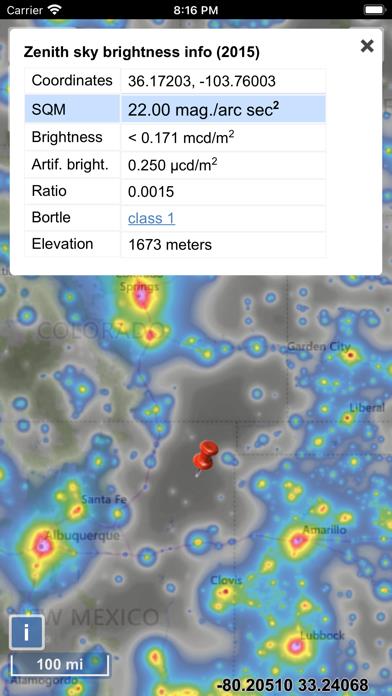
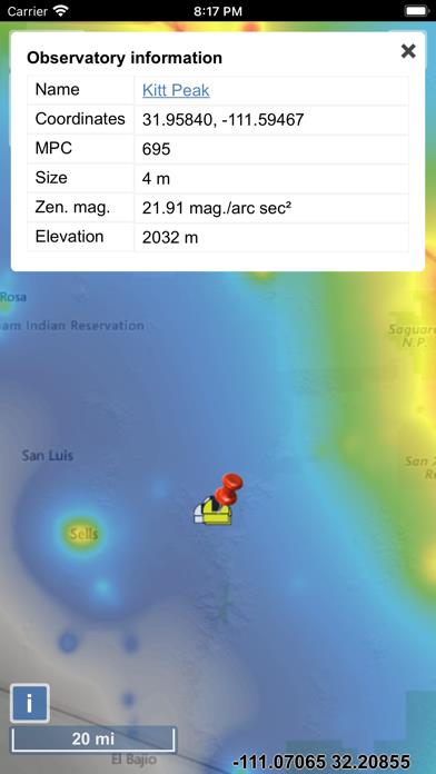
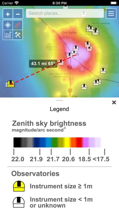
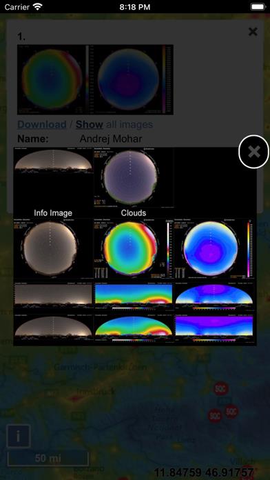
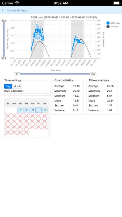
      Light Pollution Map Screenshot

      Light Pollution Map
      Light Pollution Map
      Light Pollution Map
      Light Pollution Map
      Light Pollution Map
      Light Pollution Map
      Light Pollution Map

      Rating

      4.6

      1744 Ratings

      Tap to Rate

      Please use Safari on iPhone/iPad to access the current page

      Because Panda Helper VIP service is based on iPhone/iPad device information (UDID), please access the current page in Safari on iPhone/iPad:
      • Scan the QR code on your iPhone/iPad
      • Copy the link below and open it in Safari on your iPhone/iPad
      * Safari only. Other browsers cannot get device information
      copy successfully!

      Follow us on social media

      panda helper top hover