Panda Helper iOS
VIP Version Free Version Jailbroken Version- Panda Helper >
- iOS Apps >
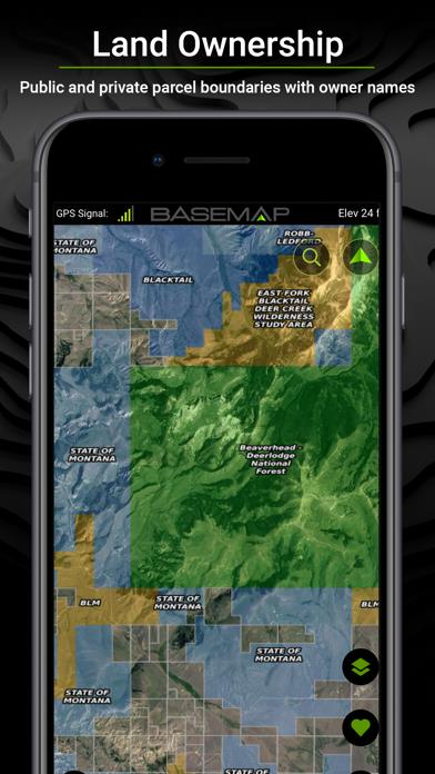
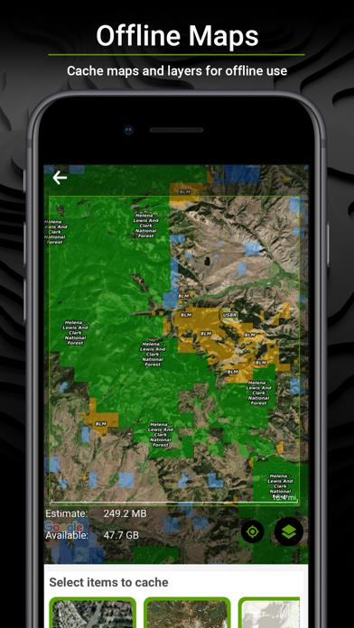
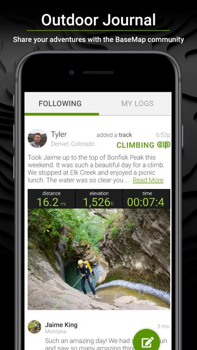
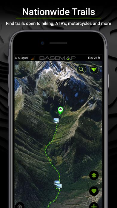
- BaseMap: Hunting GPS Maps

BaseMap: Hunting GPS Maps Description
Panda Features
BaseMap: Hunting GPS Maps Information
Name BaseMap: Hunting GPS Maps
Category Navigation
Developer BaseMap Inc
Version 5.2.10
Update 2023-04-11
Languages EN
Size 332.94MB
Compatibility Requires iOS 12.0 or later. Compatible with iPhone, iPad, and iPod touch.
Other Original Version
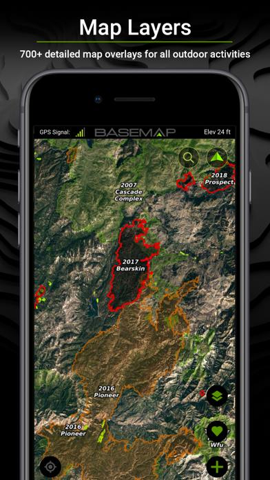
BaseMap: Hunting GPS Maps Screenshot


Rating
Tap to Rate
Panda Helper
App Market


Latest News
Salesforce CPQ Explained: Why Structured Quotes Keep Deals Moving Global Threats, Local Defenses: Navigating the Future of Cybersecurity How to Find Perfect Pokémon in the Wild? Unlocking the Secrets! Dead by Daylight Mobile: a comprehensive guide A Comprehensive guide to the game Zombie Catchers The ultimate guide to Rodeo Stampede secret animals