Panda Helper iOS
VIP Version Free Version Jailbroken Version- Panda Helper >
- iOS Apps >
- Red Tide Map
Red Tide Map Description
Panda Features
Red Tide Map Information
Name Red Tide Map
Category Weather
Developer Qvyshift LLC
Version 1.1.0
Update 2022-09-28
Languages EN
Size 14.16MB
Compatibility Requires iOS 15.0 or later. Compatible with iPhone, iPad, and iPod touch.
Other Original Version
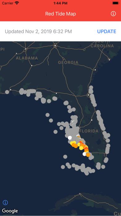
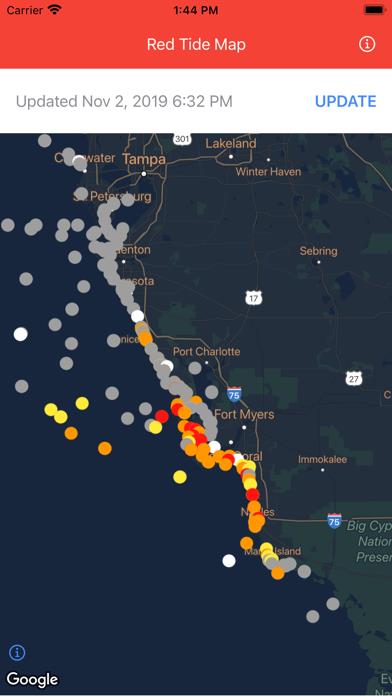
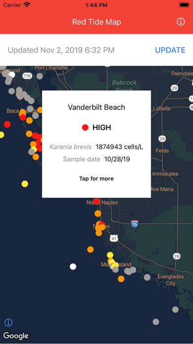
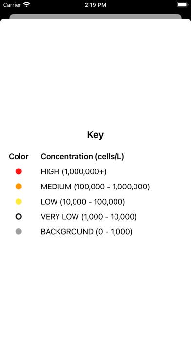
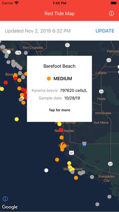
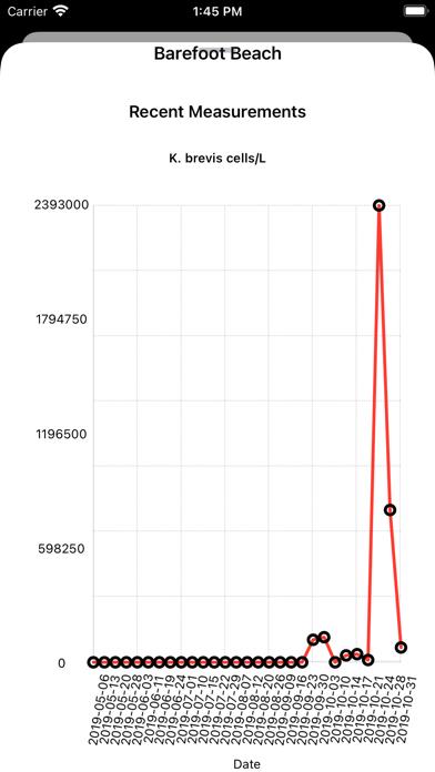
Red Tide Map Screenshot
Rating
Tap to Rate
Panda Helper
App Market


Popular Apps
Latest News
Future of Managing Multiple Reddit Accounts: AI Detection, Proxy Evolution, and Ethics From Reactive to Predictive: The Ultimate Chargeback Management Playbook Is It Safe to Buy USDT with a Credit Card? What You Need to Know The unique world of Incredibox demo: a deep dive How to download the Incredibox APK free from Panda Helper Exploring the harmony of sounds in the Incredibox game

