Panda Helper iOS
VIP Version Free Version Jailbroken Version- Panda Helper >
- iOS Apps >
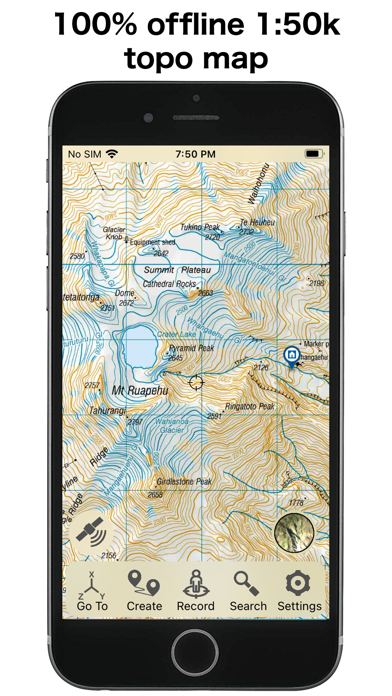
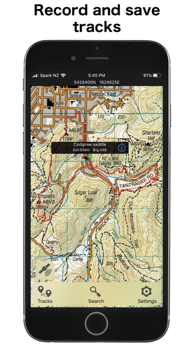
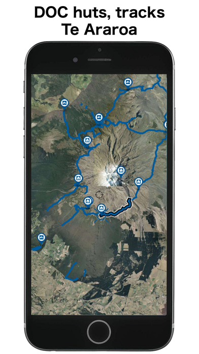
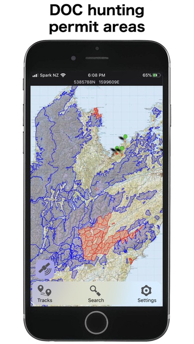
- NZ Topo50 South Island

NZ Topo50 South Island Description
Panda Features
NZ Topo50 South Island Information
Name NZ Topo50 South Island
Category Navigation
Developer Right Place Resources
Version 5.70.12
Update 2023-05-03
Languages EN
Size 2655.70MB
Compatibility Requires iOS 15.0 or later. Compatible with iPhone, iPad, and iPod touch.
Other Original Version
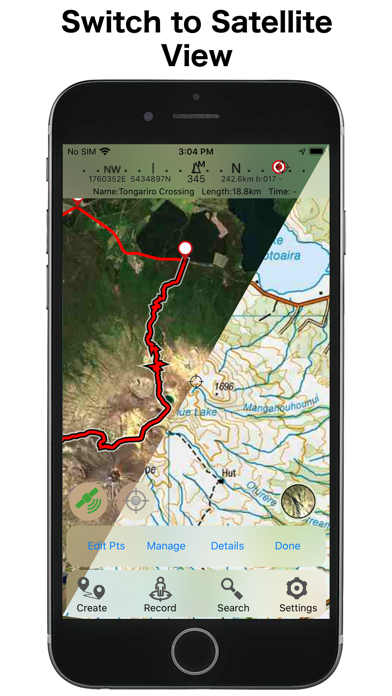
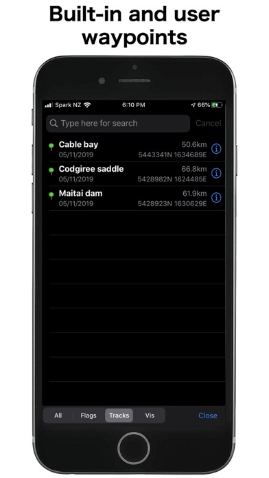
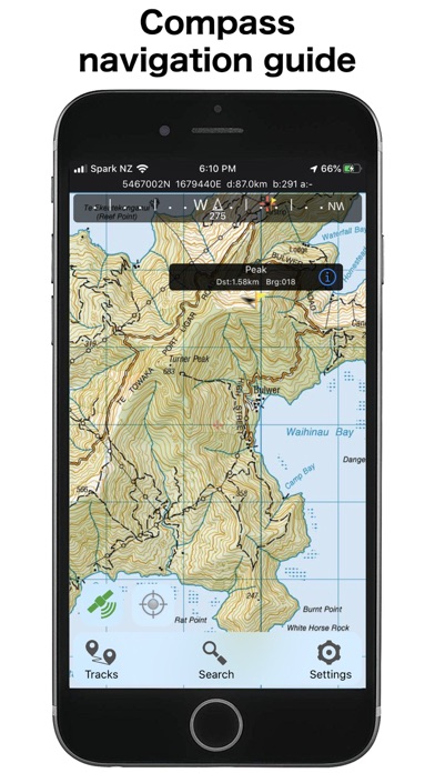
NZ Topo50 South Island Screenshot
Rating
Tap to Rate
Panda Helper
App Market


Latest News
The Best Translator English to Spanish Inside the 2025 Used Car Market: Auctions Reveal What Keeps Prices Rising What to Do When Language Learning Apps Start Feeling Repetitive Downloading Burnout Masters Mod APK without jailbreak Mastering Car Auctions: Insider Tips and Tricks for Winning Big! How to download the METAL SLUG 3 Mod APK without jailbreak