Trending Searches

    History

      Clear All
      Nautical Charts & Maps

      Nautical Charts & Maps

      • Sizes: 15.71MB
      • Version: 1.7
      • Update: 2023-03-27
      Install by Apple Store

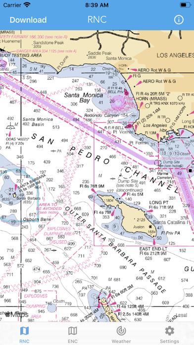
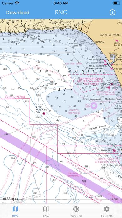
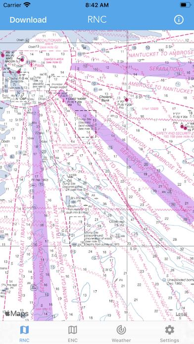
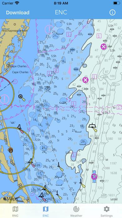
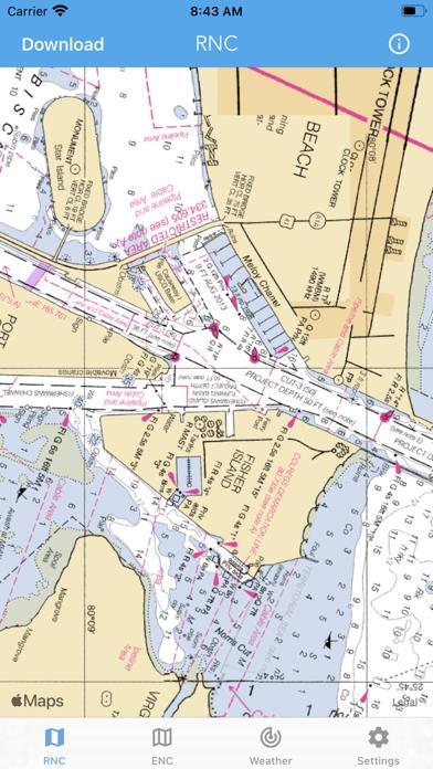
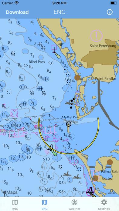
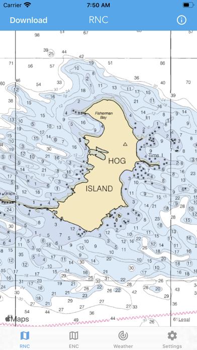
      Nautical Charts & Maps Screenshot

      Nautical Charts & Maps
      Nautical Charts & Maps
      Nautical Charts & Maps
      Nautical Charts & Maps
      Nautical Charts & Maps
      Nautical Charts & Maps
      Nautical Charts & Maps

      Nautical Charts & Maps Description

      Main Features Include: + NOAA Electronic Navigational Charts (ENC) + NOAA Weather Map Overlays -- ELECTRONIC NAVIGATION CHARTS -- Electronic Navigational Charts (ENC) are vector data sets that support all types of marine navigation. + All charts are available to download for offline use + Chart format options include: NOAA, ECDIS ENC charts display the following information: + Buoys, Beacons, Lights, Fog Signals, Radar + Natural and Man-Made Features + Services and Small Craft Facilities + Seabed, Obstructions, Pipelines + Depths, Currents + Port Features + Traffic Routes + Special areas NOAA updates the ENCs for Notice to Mariners on a weekly basis. Timing of their availability is not guaranteed. The ENC charts displayed in this app does NOT meet federal chart carriage regulations for regulated vessels. Users should consult the Code of Federal Regulations for current federal chart carriage requirements. -- NOAA WEATHER MAP OVERLAYS -- + Weather Radar + Sea Surface Temperature + Significant Wave Height + Wind Speed & Direction + 12-Hour Rain Probability + Lightning Strike Density + Air Temperature If you have any questions, please email [email protected]

      Nautical Charts & Maps Information

      Name Nautical Charts & Maps

      Category Navigation

      Developer LW Brands, LLC

      Version 1.7

      Update 2023-03-27

      Languages EN,FR,PT

      Size 15.71MB

      Compatibility Requires iOS 13.0 or later. Compatible with iPhone, iPad, and iPod touch.

      Other Original Version

      Angry Birds Journey Hack Information

      Nautical Charts & Maps
      Nautical Charts & Maps
      Nautical Charts & Maps
      Nautical Charts & Maps
      Nautical Charts & Maps
      Nautical Charts & Maps
      Nautical Charts & Maps

      Rating

      4.5

      1137 Ratings

      Tap to Rate

      Please use Safari on iPhone/iPad to access the current page

      Because Panda Helper VIP service is based on iPhone/iPad device information (UDID), please access the current page in Safari on iPhone/iPad:
      • Scan the QR code on your iPhone/iPad
      • Copy the link below and open it in Safari on your iPhone/iPad
      * Safari only. Other browsers cannot get device information
      copy successfully!

      Follow us on social media

      panda helper top hover